Roman Road of Ankara
Ankara · Archaeological site
Photo: Veritas-tr · CC BY-SA 3.0
Catalogue label
- Type
- Ancient city
- Kind
- Archaeological site
- Province / district
- Ankara
- Elevation
- 885 m
- Wikidata
- Q6044801
About
The Roman Road of Ankara or Cardo Maximus is an ancient Roman road in Ankara, the capital of Turkey. The road was found in 1995 by Turkish archaeologist Cevdet Bayburtluoğlu. It is 216 metres (709 ft) long and 6.7 metres (22 ft) wide. Many ancient artifacts were discovered during the excavations along the road and most of them are currently displayed at the Museum of Anatolian Civilizations.
Text: Wikipedia, CC BY-SA 4.0 · Read more on Wikipedia
Location
Visiting here? The next 5 places nearby
The best-known places close by, in the shortest order from Roman Road of Ankara: about 2.7 km and 35 min of travel, plus roughly 5 h for the visits.
0.2 km · 3 min on foot
War of Independence MuseumAnkara, Altındağ
0.3 km · 4 min on foot
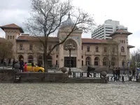 Ankara Palas
Ankara, Altındağ
0.4 km · 5 min on foot
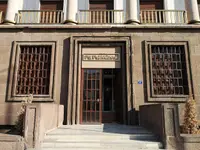 Stamp Museum
Ankara, Altındağ
0.8 km · 10 min on foot
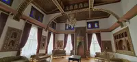 Ankara Painting and Sculpture Museum
Ankara, Altındağ
1.0 km · 14 min on foot
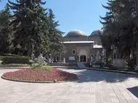 Museum of Anatolian Civilizations
Ankara, Altındağ
Directions for this routeDistances are straight-line estimates adjusted for roads; check each museum's hours before you go.
Wrong information?Tell usFix it on OpenStreetMap