Argyria
Çanakkale, Yenice (Çanakkale) · Archaeological site
Catalogue label
- Type
- Ancient city
- Kind
- Archaeological site
- Province / district
- Çanakkale / Yenice (Çanakkale)
- Elevation
- 587 m
- Wikidata
- Q65043752
About
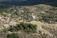
Argyria (Ancient Greek: Ἀργυρία) was a town situated on the ancient Troad, on the right bank of the Aesepus River (modern Gönen Çay) near Scepsis. It was noted for its silver mines, from which the town derived its name (ἄργυρος is Greek for 'silver'). Strabo further describes its location as being at the foot of Mount Ida near the source of the Aesepus.
Text: Wikipedia, CC BY-SA 4.0 · Read more on Wikipedia
Location
Visiting here? The next 5 places nearby
The best-known places close by, in the shortest order from Argyria: about 129 km and 2 h 10 min of travel, plus roughly 7 h 30 min for the visits.
37 km · 37 min by car
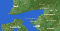 Thebe
ThebeBalıkesir
15 km · 15 min by car
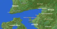 Lyrnessus
Balıkesir
18 km · 18 min by car
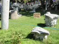 Adramyttion
Balıkesir
21 km · 21 min by car
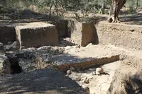 Antandrus
Balıkesir, Edremit (Balıkesir) ilçesi
37 km · 37 min by car
 Scepsis
Çanakkale
Directions for this routeDistances are straight-line estimates adjusted for roads; check each museum's hours before you go.
Wrong information?Tell usFix it on OpenStreetMap