Değirmentepe
Malatya, Battalgazi · Archaeological site
Catalogue label
- Type
- Archaeology
- Kind
- Archaeological site
- Province / district
- Malatya / Battalgazi
- Elevation
- 679 m
- Wikidata
- Q6098528
About
Değirmentepe or Değirmentepe Hüyük is an archaeological site which is located at 50 km north of the river Euphrates and at 24 km in the northeast of Malatya province in eastern Anatolia. It is now submerged in the reservoir area of the Karakaya and Atatürk dams. Rescue excavations were undertaken in 1978 under the supervision of Ufuk Esin of Istanbul University and interrupted in 1989 by flooding of the dams.
Text: Wikipedia, CC BY-SA 4.0 · Read more on Wikipedia
Location
Visiting here? The next 5 places nearby
The best-known places close by, in the shortest order from Değirmentepe: about 254 km and 4 h 15 min of travel, plus roughly 7 h 30 min for the visits.
18 km · 18 min by car
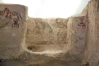 Arslantepe
Malatya, Battalgazi
76 km · 1 h 16 min by car
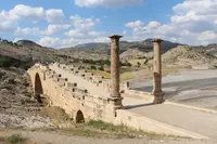 Severan Bridge
Adıyaman
6.1 km · 6 min by car
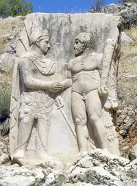 Arsameia
Adıyaman
75 km · 1 h 15 min by car
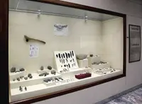 Cafer Höyük
Malatya
80 km · 1 h 20 min by car
Karamagara BridgeElazığ, Ağın
Directions for this routeDistances are straight-line estimates adjusted for roads; check each museum's hours before you go.
Wrong information?Tell usFix it on OpenStreetMap