Eribolum
Kocaeli · Archaeological site
Catalogue label
- Type
- Ancient city
- Kind
- Archaeological site
- Province / district
- Kocaeli
- Elevation
- 55 m
- Wikidata
- Q65045298
About
Eribolum, Eribolon (Ancient Greek: Ἐρίβωλον), Eribolus, Eribolos (Ἐρίβωλος), or Eriboia (Ἐριβοία) was a port town of ancient Bithynia, on the Sinus Astacenus near Nicomedia. It appears in the Tabula Peutingeriana under the name of Eribulo, south of the bay of Astacus, with the numeral XII, and north of Nicaea; the figure of a house in the Tabula indicates a town, perhaps with warm springs. It is Hyribolum in the Jerusalem Itinerary. Cassius Dio speaks of it as a naval station opposite to Nicomedia. After the Battle of Antioch (in 218), the Roman emperor Macrinus fled to Eribolum seeking passage westwards while avoiding the large port of Nicomedia whose governor was in favour of the emperor Heliogabalus.
Text: Wikipedia, CC BY-SA 4.0 · Read more on Wikipedia
Location
Visiting here? The next 5 places nearby
The best-known places close by, in the shortest order from Eribolum: about 28 km and 45 min of travel, plus roughly 6 h 30 min for the visits.
5.2 km · 5 min by car
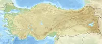 Astacus in Bithynia
Kocaeli
7.2 km · 7 min by car
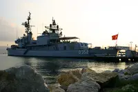 USS Eversole
Kocaeli
0.3 km · 5 min on foot
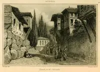 Nicomedia
Kocaeli
0.9 km · 12 min on foot
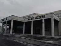 SEKA Paper Museum
Kocaeli
15 km · 15 min by car
 Elaea
ElaeaKocaeli
Directions for this routeDistances are straight-line estimates adjusted for roads; check each museum's hours before you go.
Wrong information?Tell usFix it on OpenStreetMap