Phaselis
Antalya · Archaeological site
Catalogue label
- Type
- Archaeology
- Kind
- Archaeological site
- Province / district
- Antalya
- Elevation
- 21 m
- Wikidata
- Q595329
About
Phaselis (Ancient Greek: Φασηλίς) or Faselis (Turkish: Faselis) was a Greek and Roman city on the coast of ancient Lycia. Its ruins are located north of the modern town Tekirova in the Kemer district of Antalya Province in Turkey. It lies between the Bey Mountains and the forests of Olympos National Park, 16 kilometres (9.9 mi) south of the tourist town of Kemer and on the 57th kilometre of the Antalya–Kumluca highway. Phaselis and other ancient towns around the shore can also be accessed from the sea by daily yacht tours.
Text: Wikipedia, CC BY-SA 4.0 · Read more on Wikipedia
Location
Visiting here? The next 5 places nearby
The best-known places close by, in the shortest order from Phaselis: about 93 km and 1 h 35 min of travel, plus roughly 7 h 30 min for the visits.
18 km · 18 min by car
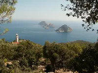 Cape Gelidonya
Antalya
34 km · 34 min by car
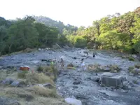 Mount Chimaera
Antalya
5.9 km · 6 min by car
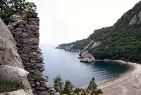 Olympos
Antalya
26 km · 26 min by car
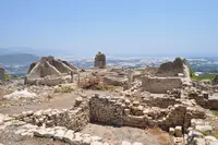 Rhodiopolis
Antalya, Kumluca
9.2 km · 9 min by car
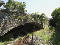 Bridge near Limyra
Antalya, Limyra
Directions for this routeDistances are straight-line estimates adjusted for roads; check each museum's hours before you go.
On these itineraries
- Five Days on the Lycian Coast · 5 days · about 24 h
Wrong information?Tell usFix it on OpenStreetMap