Hadath
Kahramanmaraş · Archaeological site
Catalogue label
- Type
- Ancient city
- Kind
- Archaeological site
- Province / district
- Kahramanmaraş
- Elevation
- 893 m
- Wikidata
- Q5637609
About
Al-Ḥadath al-Ḥamrā' (Arabic for "Hadath the Red") or Adata (Greek: Ἃδατα) was a town and fortress near the Taurus Mountains (modern southeastern Turkey), which played an important role in the Byzantine–Arab Wars.
Text: Wikipedia, CC BY-SA 4.0 · Read more on Wikipedia
Location
Visiting here? The next 5 places nearby
The best-known places close by, in the shortest order from Hadath: about 213 km and 3 h 35 min of travel, plus roughly 6 h for the visits.
67 km · 1 h 7 min by car
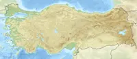 Germanicia
Kahramanmaraş, Dulkadiroğlu
2.9 km · 3 min by car
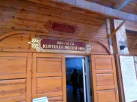 Kahramanmaraş Liberation Museum
Kahramanmaraş
2.0 km · 2 min by car
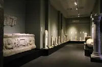 Archaeological museum Kahramanmaraş
Kahramanmaraş
42 km · 42 min by car
 Domuztepe
Kahramanmaraş
100 km · 1 h 40 min by car
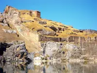 Rumkale
Gaziantep, Nizip
Directions for this routeDistances are straight-line estimates adjusted for roads; check each museum's hours before you go.
Wrong information?Tell usFix it on OpenStreetMap