42 km
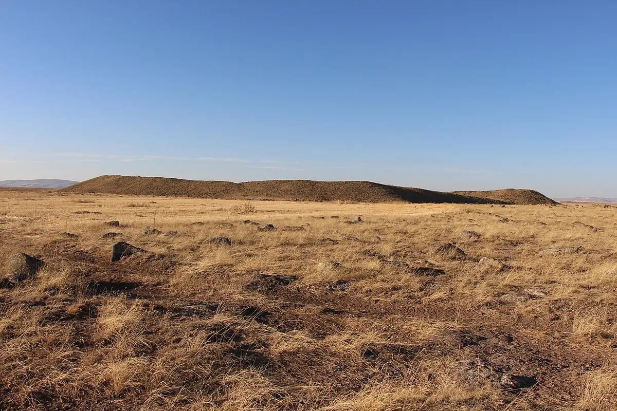
Hassek Höyük
Malatya · Archaeological site
Photo: Cobija · CC BY-SA 4.0
Catalogue label
- Type
- Archaeology
- Kind
- Archaeological site
- Province / district
- Malatya
- Elevation
- 1,624 m
- Wikidata
- Q6096515
About
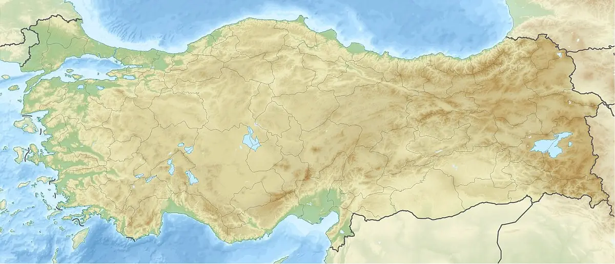
Hassek Höyük (also Hassek Hüyük) is an ancient Near East archaeological site, located on the left bank of the Euphrates River in the Şanlıurfa Province of southeastern Turkey. It was excavated in a salvage effect due to flooding caused by the Atatürk Dam (originally the Karababa Dam). Hassek Höyük lies 20 kilometers south of the castle of Gerger, site of the Battle of Gerger. It is halfway between the villages Asagi Tillakin and Yukari Tillakin. A Halaf period archaeological site, Cavi Tarlasi, is 4.5 kilometers to the west. For this period the area is considered to be part of Upper Mesopotamia. The site is now completely underwater. The notable archaeological sites of Lidar Höyük and Kurban Höyük were also inundated at that time.
Text: Wikipedia, CC BY-SA 4.0 · Read more on Wikipedia
Location
Nearby museums
- Photo: Wikimedia Commons
 56 km
56 kmKussara
Sivas
- Photo: Wikimedia Commons
 62 km
62 kmHavuz-Aslantaş
Sivas, Kangal
- 67 km
Şemsiyetepe Höyüğü
Elazığ
Wrong information?Tell usFix it on OpenStreetMap