Kaman-Kalehöyük
Kırşehir · Archaeological site
Photo: Hajo-Muc · CC BY-SA 3.0
Catalogue label
- Type
- Archaeology
- Kind
- Archaeological site
- Province / district
- Kırşehir
- Elevation
- 1,068 m
- Wikidata
- Q1237572
About
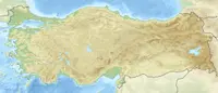
Kaman-Kalehöyük is a multi-period archaeological site in Kırşehir Province, Turkey, around 100 km south east of Ankara, 6 km east of the town center of Kaman. It is a tell or mound site that was occupied during the Bronze Age, Iron Age and Ottoman periods. Excavations in the mound have been carried out since 1986 under the direction of Sachihiro Omura, on behalf of the Middle Eastern Culture Center in Japan and the Japanese Anatolian Archeology Institute. The distance to Hattusa, the Hittite capital, is about 100 km.
Text: Wikipedia, CC BY-SA 4.0 · Read more on Wikipedia
Location
Visiting here? The next 5 places nearby
The best-known places close by, in the shortest order from Kaman-Kalehöyük: about 254 km and 4 h 20 min of travel, plus roughly 6 h 30 min for the visits.
56 km · 56 min by car
Kırşehir MuseumKırşehir
0.4 km · 5 min on foot
 Aquae Saravenae
Kırşehir
38 km · 38 min by car
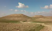 Nyssa
NyssaAksaray
117 km · 1 h 57 min by car
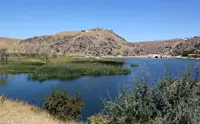 Büklükale
Kırıkkale, Karakeçili
42 km · 42 min by car
Directions for this routeDistances are straight-line estimates adjusted for roads; check each museum's hours before you go.
Wrong information?Tell usFix it on OpenStreetMap