Xanthos
Antalya, Kaş ilçesi · Archaeological site
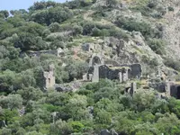
Photo: Pot Noodle · CC BY 2.0
Catalogue label
- Type
- Ancient city
- Kind
- Archaeological site
- Province / district
- Antalya / Kaş ilçesi
- Elevation
- 62 m
- UNESCO
- World Heritage, 1988
- Wikidata
- Q464936
About
Xanthos (Ksantos in Turkish) was the leading city of ancient Lycia, and together with the nearby sanctuary of Letoon it is a UNESCO World Heritage Site. The ruins sit on a hill above the Eşen river valley, next to the village of Kınık, between Fethiye and Kaş on the southwest coast.
Start at the theatre, just past the entrance. Beside it stand the Harpy Tomb, a tall pillar topped by a relief-carved chamber (the reliefs you see are casts; the originals are in the British Museum), and other pillar tombs typical of Lycia. At the corner of the agora look for the Inscribed Pillar, covered in one of the longest surviving texts in the Lycian language. From there walk on to the mosaic floors of the Byzantine basilica and the rock-cut tombs on the east side. The Nereid Monument is represented only by its foundations; the monument itself is also in London. Allow one and a half to two hours.
There is very little shade. In summer come early or late in the day with a hat and water, and wear sturdy shoes for the uneven stone. A car is by far the easiest way to get here from Fethiye or Kaş. Letoon and Patara are a short drive away and fit into the same day. Check the hours on the museum page.
Location
Visiting here? The next 5 places nearby
The best-known places close by, in the shortest order from Xanthos: about 113 km and 1 h 55 min of travel, plus roughly 7 h 30 min for the visits.
5.4 km · 5 min by car
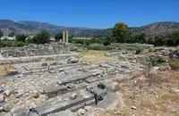 Letoon
Muğla, Seydikemer
12 km · 12 min by car
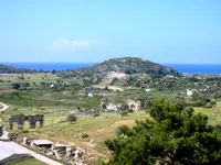 Patara
Antalya
48 km · 48 min by car
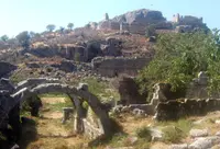 Tlos
TlosMuğla
23 km · 23 min by car
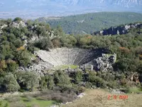 Pinara
Muğla
26 km · 26 min by car
 Gemiler Island
Muğla
Directions for this routeDistances are straight-line estimates adjusted for roads; check each museum's hours before you go.
On these itineraries
- Five Days on the Lycian Coast · 5 days · about 24 h
Wrong information?Tell usFix it on OpenStreetMap