Kültepe
Kayseri · Archaeological site
Photo: Klaus-Peter Simon · CC BY-SA 3.0
Catalogue label
- Type
- Archaeology
- Kind
- Archaeological site
- Province / district
- Kayseri
- Elevation
- 1,095 m
- Wikidata
- Q538605
About
Kültepe, the ancient city of Kanesh (Kaniş in Turkish), is a large mound rising out of the plain northeast of Kayseri in central Anatolia. It is famous as the place where writing first appears in Anatolia: Assyrian merchants trading here around four thousand years ago left tens of thousands of cuneiform clay tablets, mostly business letters and contracts. Come expecting an active excavation site rather than a museum.
The site has two parts. On top of the mound are the foundations of the palace and temples of the local rulers, with wide views over the plain towards the volcano of Erciyes. At the foot of the mound lies the lower town, the karum or merchants' quarter, where you can walk among the stone foundations of houses and narrow lanes. Information panels explain what you are looking at; about an hour covers both.
Many of the tablets and finds are displayed in the museums of Kayseri and in the Museum of Anatolian Civilizations in Ankara, and seeing one of them completes the story. The site is fully exposed: bring a hat and water in summer and a windproof layer in winter. It is a short drive or taxi ride from Kayseri. Parts of the site may be closed while excavations are in progress. Check the hours on the museum page.
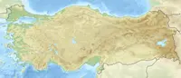
Location
Visiting here? The next 5 places nearby
The best-known places close by, in the shortest order from Kültepe: about 84 km and 1 h 25 min of travel, plus roughly 6 h 30 min for the visits.
28 km · 28 min by car
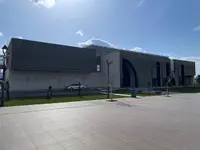 Mimar Sinan and City Museum
Kayseri, Kocasinan
3.7 km · 4 min by car
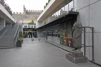 Kayseri Archaeology Museum
Kayseri
0.3 km · 3 min on foot
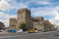 Caesarea of Cappadocia
Kayseri, Kayseri Büyükşehir Belediyesi
11 km · 11 min by car
 Moutalaske
Kayseri
41 km · 41 min by car
 Korama
Kayseri
Directions for this routeDistances are straight-line estimates adjusted for roads; check each museum's hours before you go.
Wrong information?Tell usFix it on OpenStreetMap