Mampsoukrenai
Mersin · Archaeological site
Catalogue label
- Type
- Ancient city
- Kind
- Archaeological site
- Province / district
- Mersin
- Elevation
- 378 m
- Wikidata
- Q85783534
About
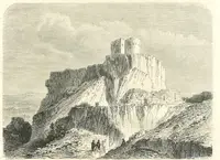
Mopsucrene or Mopsoukrene (Ancient Greek: Μόψου κρήνη) was a town in the eastern part of ancient Cilicia, on the river Cydnus, and not far from the frontier of Cataonia to which Ptolemy, in fact, assigns it. Its site was on the southern slope of Mount Taurus, and in the neighbourhood of the mountain pass leading from Cilicia into Cappadocia, 12 miles (19 km) north of Tarsus. Its site was likely the same as the settlement and mutatio of Mampsoukrenai or Mapsoukrenai, and known in Hellenic antiquity as Mópsou Krênae 'Fountains of Mopsus'.
Text: Wikipedia, CC BY-SA 4.0 · Read more on Wikipedia
Location
Visiting here? The next 5 places nearby
The best-known places close by, in the shortest order from Mampsoukrenai: about 116 km and 1 h 55 min of travel, plus roughly 6 h 30 min for the visits.
25 km · 25 min by car
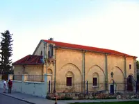 Saint Paul's Church, Tarsus
Mersin, Tarsus
30 km · 30 min by car
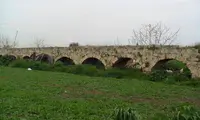 Anchiale
Mersin
32 km · 32 min by car
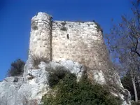 Gözne Castle
Mersin, Toroslar
6.6 km · 7 min by car
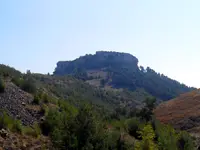 Çandır Castle
Mersin
23 km · 23 min by car
 Lampron
Mersin, Çamlıyayla
Directions for this routeDistances are straight-line estimates adjusted for roads; check each museum's hours before you go.
Wrong information?Tell usFix it on OpenStreetMap