Ophryneion
Çanakkale · Archaeological site
Catalogue label
- Type
- Archaeology
- Kind
- Archaeological site
- Province / district
- Çanakkale
- Elevation
- 109 m
- Wikidata
- Q17155146
About
Ophryneion, also called Ophrynium or Ophrynion (Ancient Greek: Ὀφρύνειον Ophrýneion or Ὀφρύνιον Ophrýnion), was an ancient Greek city in the northern Troad region of Anatolia. Its territory was bounded to the west by Rhoiteion and to the east by Dardanus. It was located about 1.5 km north-east of the village of Erenköy in Çanakkale Province, Turkey. The city was situated on the steep brow of a hill overlooking the Dardanelles, hence the origin of its Ancient Greek name ὀφρῦς (ophrus), meaning 'brow of a hill', 'crag'.
Text: Wikipedia, CC BY-SA 4.0 · Read more on Wikipedia
Location
Visiting here? The next 5 places nearby
The best-known places close by, in the shortest order from Ophryneion: about 39 km and 40 min of travel, plus roughly 7 h 30 min for the visits.
8.9 km · 9 min by car
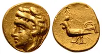 Dardanos
Çanakkale
8.6 km · 9 min by car
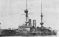 HMS Irresistible
Çanakkale
3.3 km · 3 min by car
 HMS Ocean
Çanakkale
6.5 km · 6 min by car
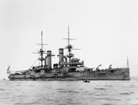 HMS Triumph
Çanakkale, Eceabat ilçesi
12 km · 12 min by car
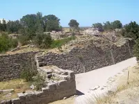 Troy
TroyÇanakkale
Directions for this routeDistances are straight-line estimates adjusted for roads; check each museum's hours before you go.
Wrong information?Tell usFix it on OpenStreetMap