Tell Tayinat
Hatay · Archaeological site
Catalogue label
- Type
- Archaeology
- Kind
- Archaeological site
- Province / district
- Hatay
- Elevation
- 97 m
- Wikidata
- Q907974
About
Tell Ta'yinat is a low-lying ancient tell on the east bank at the bend of the Orontes River where it flows through the Amuq Valley, in the Hatay province of Mediterranean Turkey about 25 kilometers south east of Antakya (ancient Antioch), and lies near Tell Atchana, the site of the ancient city of Alalakh. Tell Ta'yinat has been proposed as the site of Alalaḫu, inhabited in late 3rd millennium BC, mentioned in Ebla's Palace G archive; and in later times as Kinalua, the capital city of an Iron Age Neo-Hittite kingdom. Among the findings are an Iron Age temple and several 1st millennium BC cuneiform tablets. Chatal Huyuk (Amuq) is another major site that is located in the area.
Text: Wikipedia, CC BY-SA 4.0 · Read more on Wikipedia
Location
Visiting here? The next 5 places nearby
The best-known places close by, in the shortest order from Tell Tayinat: about 111 km and 1 h 50 min of travel, plus roughly 7 h for the visits.
1.8 km · 2 min by car
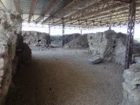 Alalakh
Hatay
18 km · 18 min by car
 Amik Valley
Hatay
21 km · 21 min by car
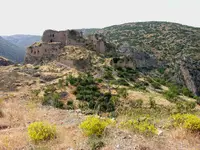 Bagras
Hatay
35 km · 35 min by car
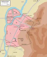 Antioch
Hatay, Antakya
35 km · 35 min by car
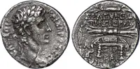 Seleucia Pieria
Hatay
Directions for this routeDistances are straight-line estimates adjusted for roads; check each museum's hours before you go.
Wrong information?Tell usFix it on OpenStreetMap