Archalla
Kayseri · Archaeological site
Catalogue label
- Type
- Ancient city
- Kind
- Archaeological site
- Province / district
- Kayseri
- Elevation
- 1,149 m
- Wikidata
- Q85742662
About
Archalla (Greek: Άρχαλλα) was a town of ancient Cappadocia, inhabited during Roman times. Its site is tentatively located near Erkilet(Under Kocasinan), Asiatic Turkey. Although only attested in ancient times, it was presumably inhabited continuously through Byzantine times and into the present day, since its name is preserved in the current name Erkilet. The façade of the extant Mehmed Paşa Camii mosque in Erkilet is built partly using ancient remains as spolia.
Text: Wikipedia, CC BY-SA 4.0 · Read more on Wikipedia
Location
Visiting here? The next 5 places nearby
The best-known places close by, in the shortest order from Archalla: about 147 km and 2 h 30 min of travel, plus roughly 7 h for the visits.
41 km · 41 min by car
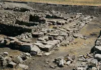 Kültepe
Kayseri
27 km · 27 min by car
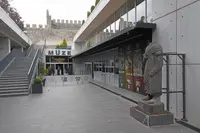 Kayseri Archaeology Museum
Kayseri
0.3 km · 3 min on foot
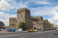 Caesarea of Cappadocia
Kayseri, Kayseri Büyükşehir Belediyesi
76 km · 1 h 16 min by car
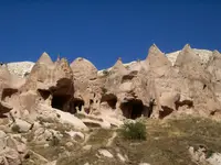 Zelve village
Nevşehir
2.6 km · 3 min by car
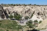 Göreme National Park
Nevşehir
Directions for this routeDistances are straight-line estimates adjusted for roads; check each museum's hours before you go.
Wrong information?Tell usFix it on OpenStreetMap