Coropassus
Aksaray, Mut · Archaeological site
Catalogue label
- Type
- Ancient city
- Kind
- Archaeological site
- Province / district
- Aksaray / Mut
- Elevation
- 927 m
- Wikidata
- Q85754143
About
Coropassus or Koropassos (Ancient Greek: Κοροπασσός), also known as Coropissus or Koropissos (Κοροπισσός) as the name appears on its coins, was a town of ancient Lycaonia, inhabited in Roman times. Strabo says that the boundary between the Lycaonians and the Cappadocians is the tract between Coropassus in Lycaonia and Gareathyra, a small town of the Cappadocians. The distance between these two places was about 120 stadia. In the second of these two passages the name of the Cappadocian town is written Garsaura, which is the true name. The place is therefore near the western border of Cappadocia, south of the salt lake of Tatta. Adopissus in Ptolemy is probably the same place.
Text: Wikipedia, CC BY-SA 4.0 · Read more on Wikipedia
Location
Visiting here? The next 5 places nearby
The best-known places close by, in the shortest order from Coropassus: about 95 km and 1 h 35 min of travel, plus roughly 7 h 30 min for the visits.
17 km · 17 min by car
PurushandaAksaray
49 km · 49 min by car
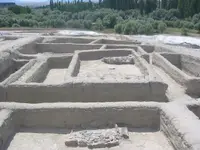 Aşıklı Höyük
Aksaray
16 km · 16 min by car
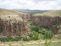 Ihlara Valley
Aksaray
2.9 km · 3 min by car
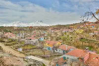 Ihlara
Aksaray
9.7 km · 10 min by car
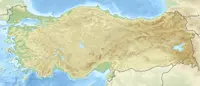 Nora
NoraAksaray
Directions for this routeDistances are straight-line estimates adjusted for roads; check each museum's hours before you go.
Wrong information?Tell usFix it on OpenStreetMap